The Eastern Townships, or in French Les Cantons de L’Est, is about one hour south of Montreal and features a rich history starting with the Abenaki First Nations who first settled the region (witness the toponymy such as the Massawippi River and Lake Memphremagog). Eventually the Europeans arrived, first the French and then British Loyalists escaping the American Revolution in 1776. From a geological perspective, the region is the northern extension of the Appalachian mountain range, and so is a mix of mountain ranges, rich farmland, and rivers; many of which were dammed bringing hydro power for mills) to the region. More information about the Townships can be found here;
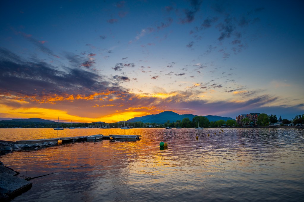
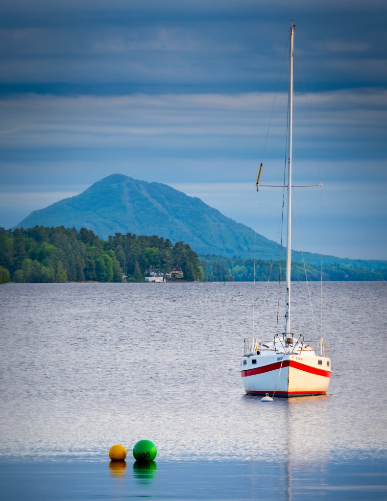
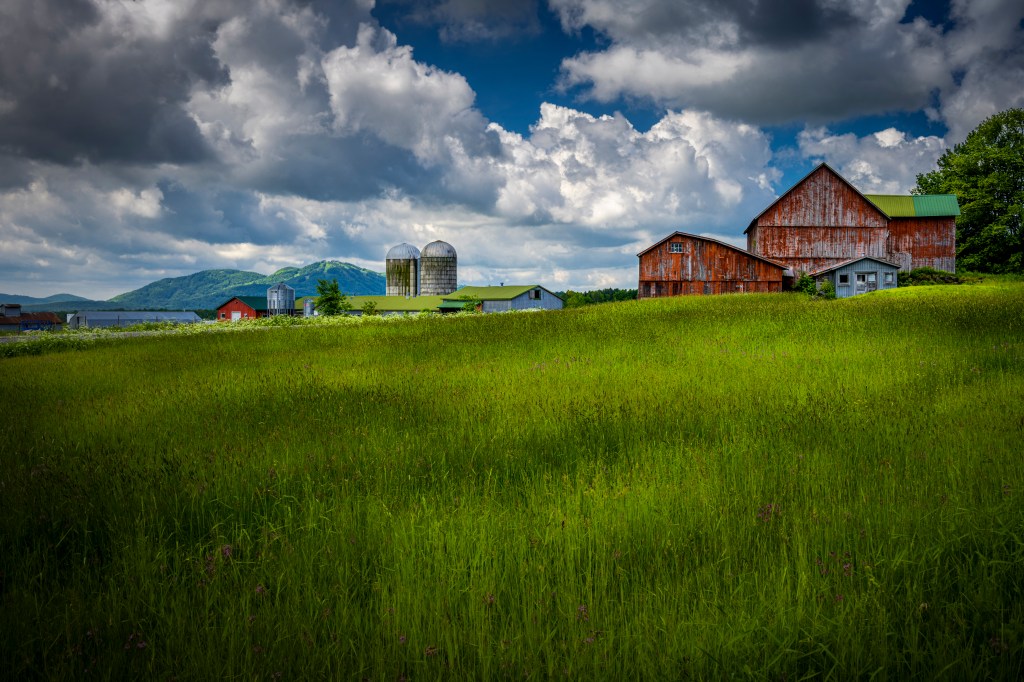
Our home base while visiting the Eastern Townships was the charming village of Magog, on the shores of the magnificent Lake Memphremagog. Bordered on the North by Mount Orford, with Owl’s Head and Sutton visible in the distance, Magog does not suffer from a lack of outdoor adventures from hiking, cycling, mountain biking and of course, in the winter, downhill and cross country skiing.
Magog features a wide variety of lodging from your charming B&B’s, budget hotels, and ski condo’s (for those on a budget or for longer stays.) We stayed at the newly renovated and eclectic Hotel Verso, with views overlooking the Lake and pedestrian board walk. The culinary scene in Magog was absolutely great and we were not disappointed. Our first night was a local brewery pub called La Memphre which was a short walking distance from the hotel and we were pleasantly surprised.
The next night was a downpour and so we did not venture far from the hotel, sampling middle eastern/Lebanese cuisine at the hotel at Bistro Koz which was absolutely fabulous with a panoramic view of the lake from the second floor. For our last two nights (yes we went to the same place twice) we decided on Pinnochio, a French style bistro without the stuffiness one can find in such places. Try the fresh Icelandic cod, which was the freshest I have had outside of Iceland itself.
Le Marais de la Riviere-aux-Cerise
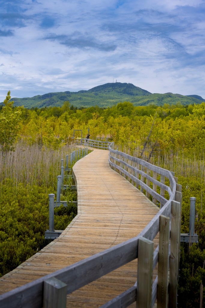
A very short distance from the village is a walking/hiking area where the Cherry River meets Lake Memphremagog. Essentially a bog at the entrance of the lake, this is the end point of the Cherry River. The river flow is very slow and the area had once been considered a wasteland (essentially it was used as a garbage dump) but it’s environmental value was recognized in the 1970’s and the work on restoring the area started. There are many hiking/walking options through the marsh, with many stops along the way pointing out the history and local flora and fauna. While not a mountain climb, the hike is a good walk in between tougher days.
Parc Jean-Paul Forand – Shefford, QC
A somewhat unknown hiking area, I found this park on my All-Trails app (very handy for finding new hiking trails where ever you are). The park straddles the western slopes of Mont Shefford, which itself is nestled between the towns of Granby to the north and Waterloo to the south. Easily accessible from Montreal, with ample parking and rest-rooms, the trails are very well sign marked and well maintained. Dogs are allowed but must be kept on leash. The park features a number of trails of various lengths and moderate elevation gains, many of which follow various streams and waterfalls. Great for an outing.

The main trail we took started higher up on the mountain and made it’s way downhill (a very gentle downhill), first circumnavigating a marsh fed by the mountain streams such as the one here on the right. The trail continues at the exit point of the marsh and continues to follow the stream as it continues to grow in size and volume as you can see in the photo below. Being June, the leaves are very green as are all those lovely mosses growing on the rocks. Can’t wait to see what this looks like in the fall.
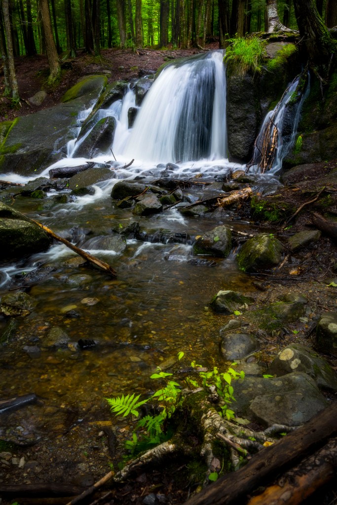
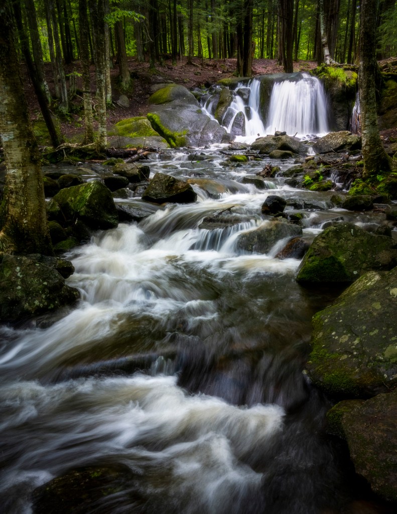
We continued following the trail which mirrors the path taken by the river except for the steeper grades. At one point I did pick up the un-mistakeable sounds of a waterfall, and so followed a side path down to the river to the scene below.
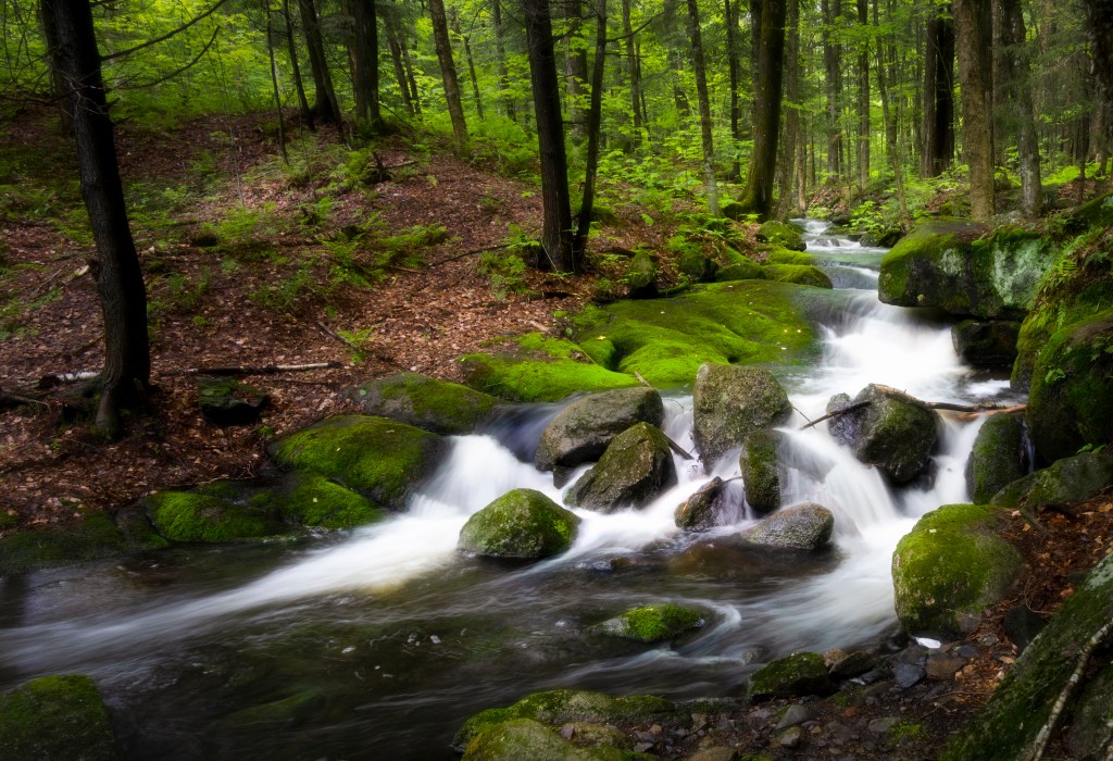
The path continues down to the bottom, where you are welcomed to main event of the waterfalls, as shown in the two shots below.